Cottonera
History
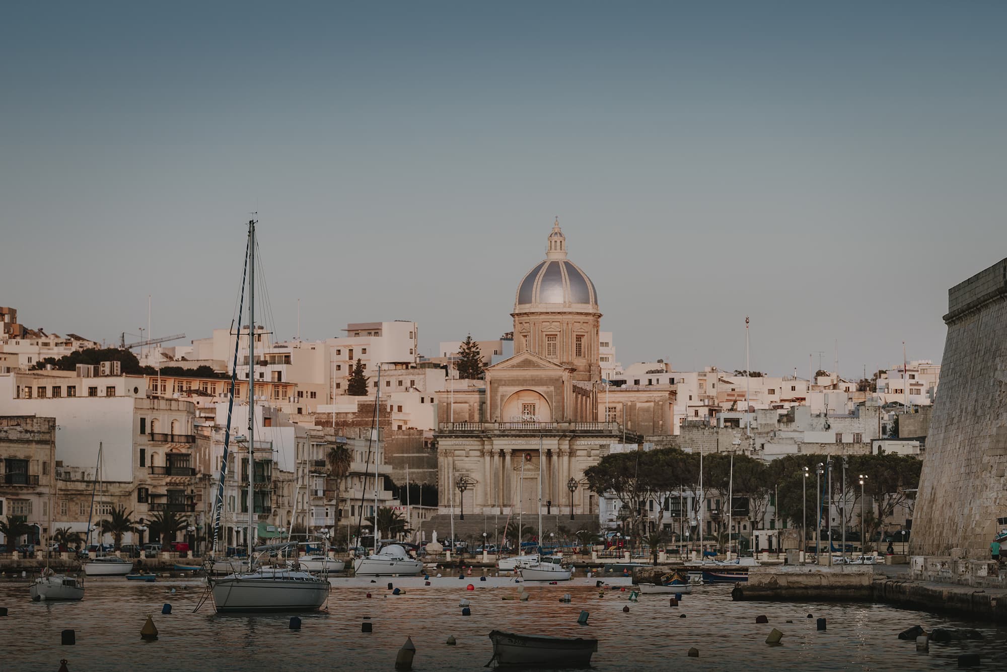
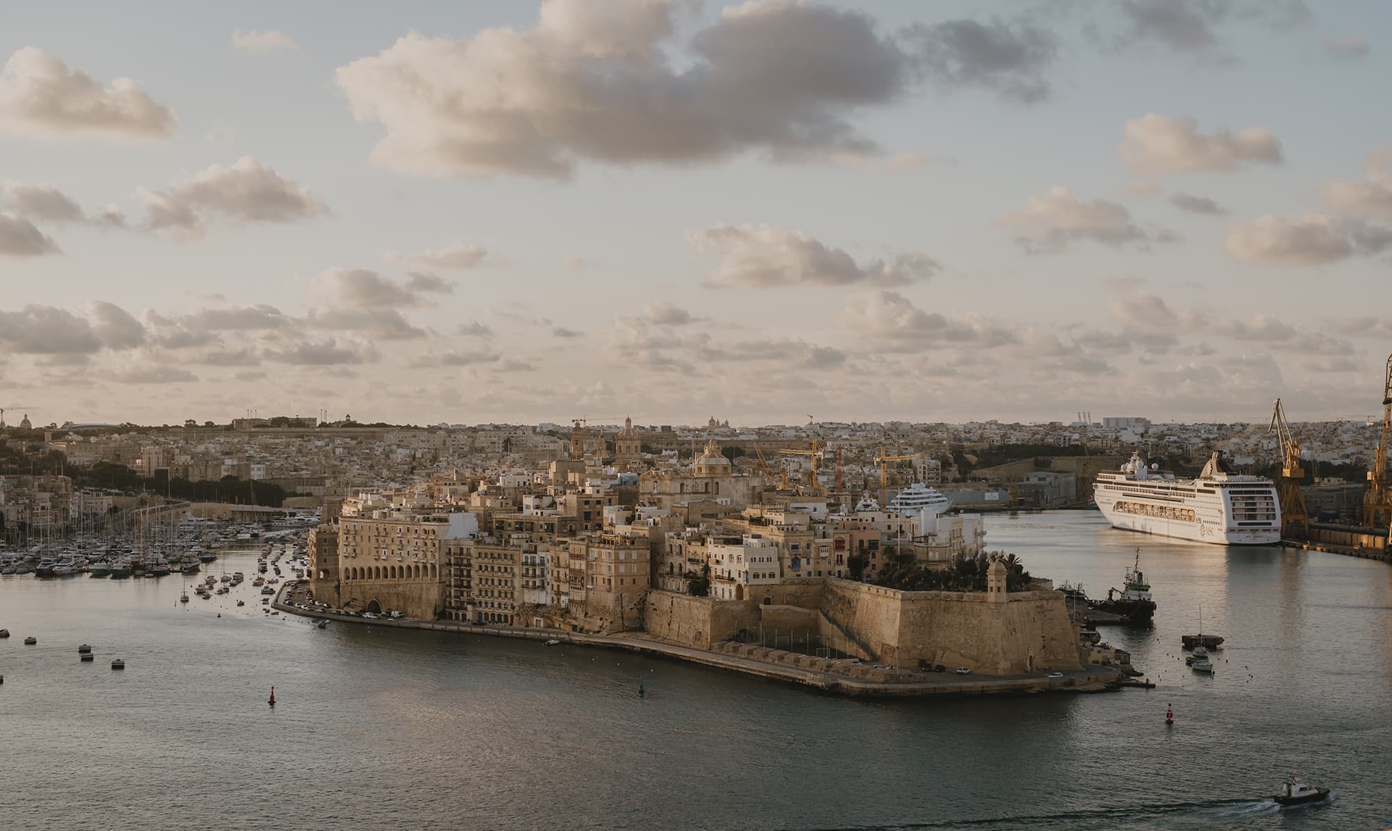
Cottonera is composed of the Three Cities: Bormla, Birgu and Isla, and the nearby locality Kalkara.
The Three Cities are made up of two peninsulas jutting out into the Grand Harbour, upon which Birgu and Isla are located; and the third city, Bormla which spatially connects the other two cities and is bounded by the Cottonera and the Santa Margerita lines. The fourth locality, Kalkara which is the largest of the four localities is found to the north of the Three Cities.
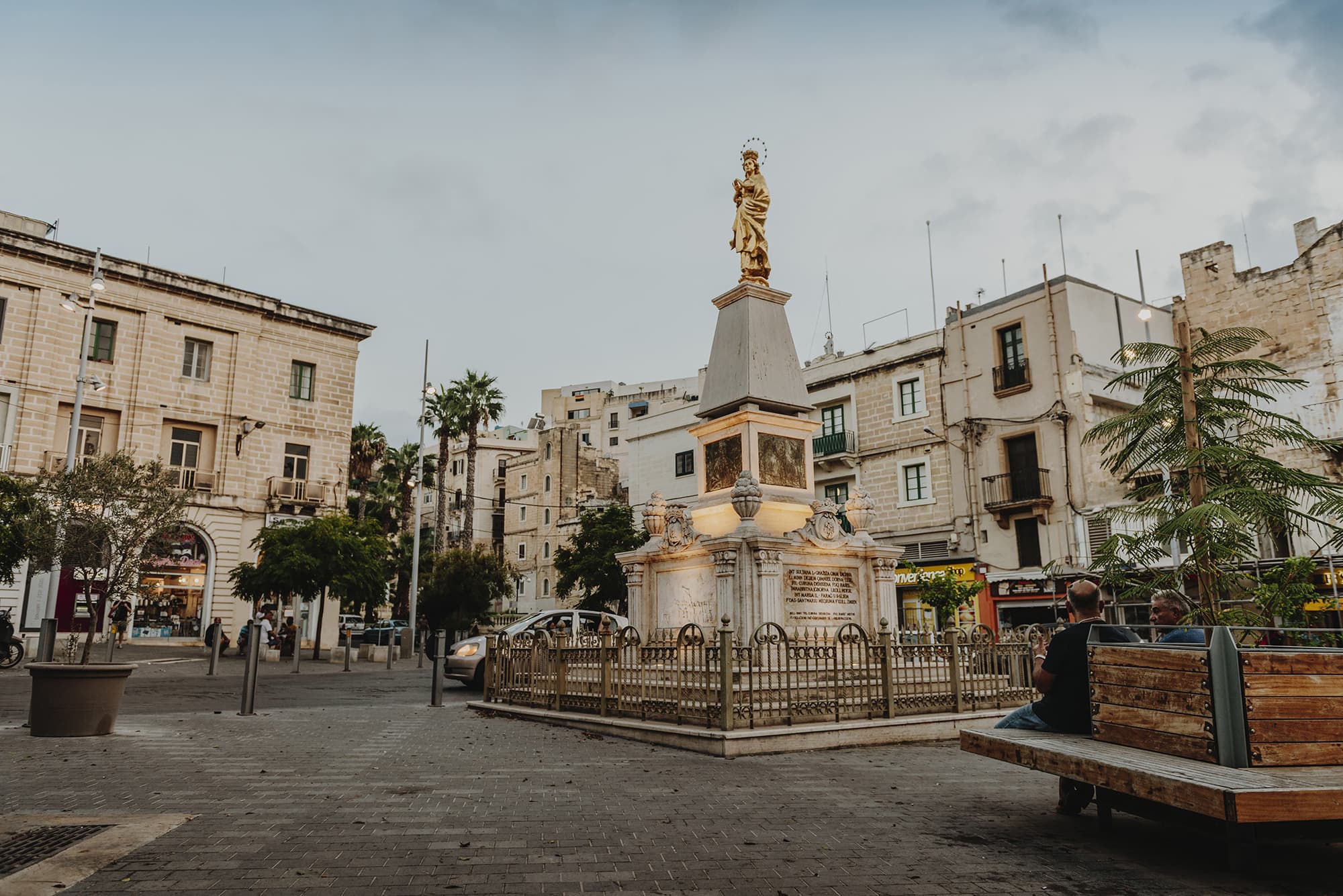
The localities of Cottonera are very rich in culture and history. When the Knights of St John arrived in Malta the capital city at the time was Imdina; however, the knights chose Birgu as their base in order to be close to the harbour. The Three Cities were essential to Malta winning the Great Siege because of their strategic place. The Knights recognized Bormla, Birgu and Isla’s crucial role in the defence of the Maltese islands and honoured them by giving them the titles of cities. Bormla was given the title of Città Cospicua, Birgu was given that of Città Vittoriosa, and Isla that of Città Invicta. During the Second World War, the localities of Cottonera were heavily bombarded and the urban fabric was extensively damaged during this ordeal, damage that is still present in certain parts of the fortifications to this present day.
The present government recognized the potential of Cottonera. For this reason, the Kottonera Foundation was founded in order to improve the quality of life of the people today, and in the many years to come. The objective is to improve the surroundings in order to make Cottonera attractive for business which will result in creating more career opportunities. Furthermore, an improvement in social infrastructure will take place, such as upgrading health, education and recreation facilities, which will encourage inclusion, support diversity and create sustainable communities. Refining heritage assets will result in more open spaces and attractions which will do justice to the historical uniqueness of Cottonera.
Birgu (Vittoriosa)
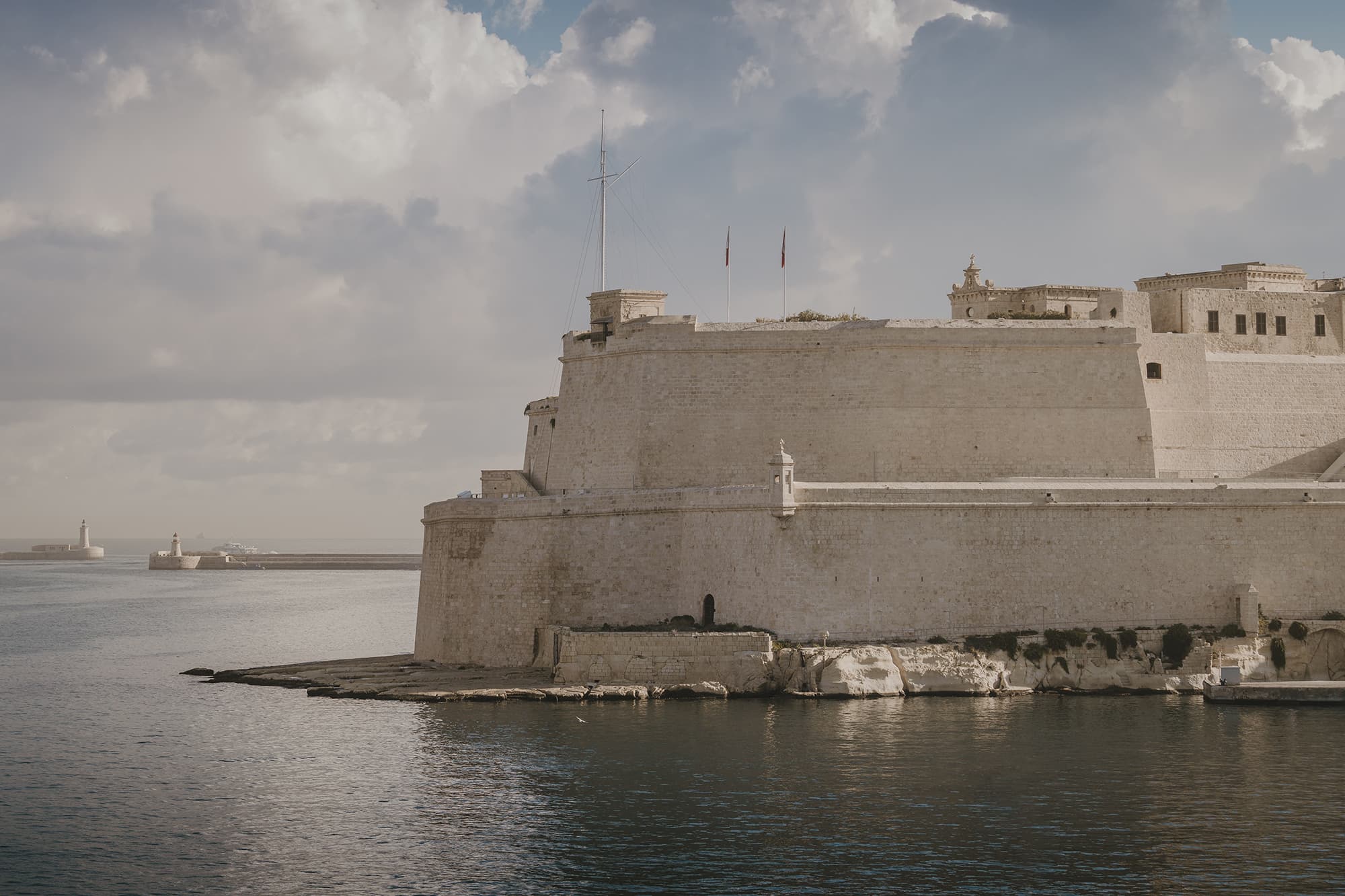
Birgu is comprised of the peninsula between Dockyard Creek and Kalkara Creek, with a hinterland extending between the Santa Margherita Lines and the Cottonera Lines, up to Zabbar Gate. The urban area is most dense at the peninsula, this area being composed of a series of streets in an organic layout and designated for residential purposes. The tip of the peninsula features the recently restored historic Fort St Angelo, accessed via the Birgu Waterfront; a project which has provided increased amenity through the re-use of such a significant and prestigious element of national heritage. Much of the hinterland at Birgu is open space characterised by the massive fortification lines, having the valley at Tal-Ħawli at its core – a Site of Scientific Importance and Area of Ecological Importance, with a residential enclave and De La Salle and St Edwards’s Colleges above it.
Isla (Senglea)
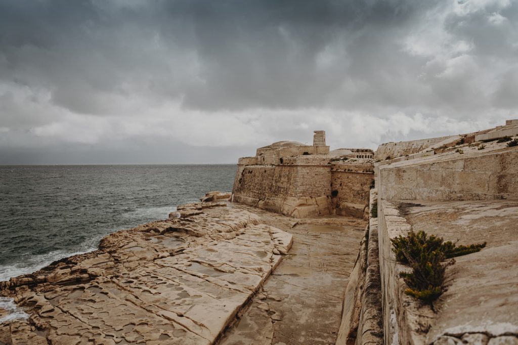
Laid out in a grid pattern along the length of the peninsula, Isla was the first city in Malta to be historically developed with a grid-iron layout. Though heavily hit during air raids of the Second World War, the street pattern was largely retained in the post-war reconstruction efforts, and the city can still be experienced as a series of parallel intersecting streets bounded by fortification walls. At the outer point is located Fort St Michael. Isla’s urban area is designated entirely as a Residential Zone in the Grand Harbour Local Plan. The open spaces within this area are small, with larger public open spaces restricted mainly to the historic promenade on the waterfront. On the side of the peninsula abutting French Creek, significant tracts of land are used for maritime activities and port related uses including a ship/yacht repair yard.
Bormla (Cospicua)
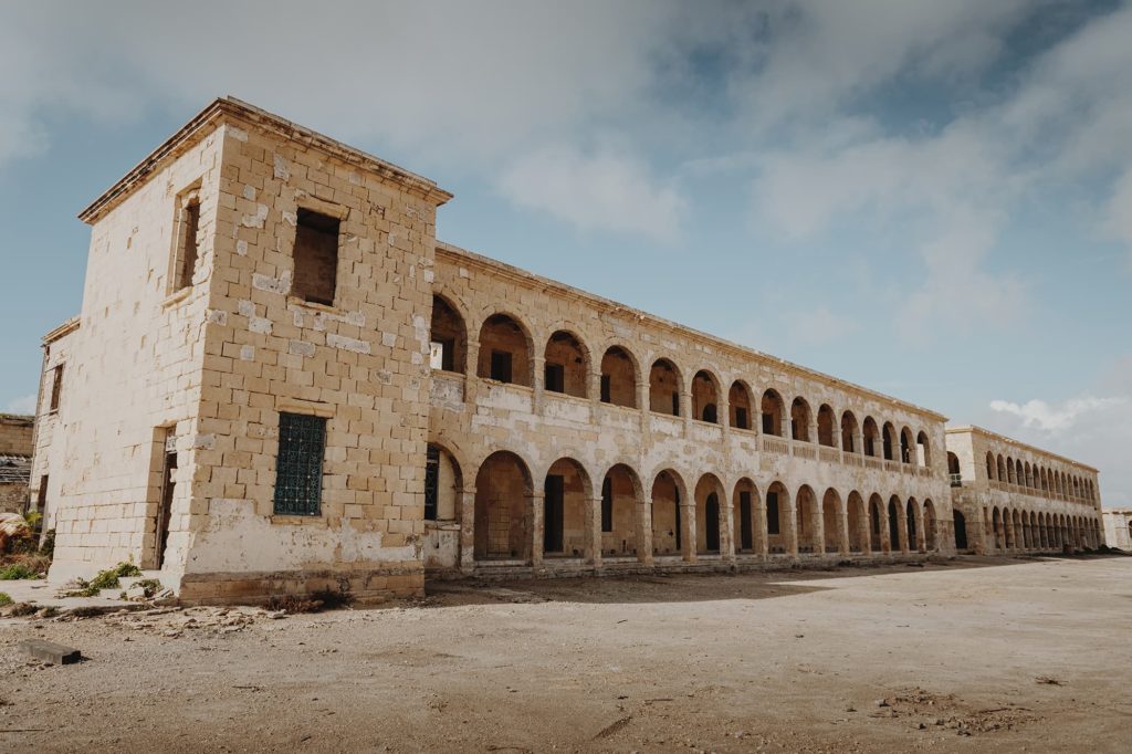
A city in the hinterland of the Isla peninsula to the west of Birgu, Bormla is mainly a dense residential area within the Santa Margherita Lines. The locality retains historic properties but features a significant number of post-war housing blocks of a similar typology to those found in other localities in Cottonera. The space between the two fortification lines provides for a number of large open tracts of land, some of which have been used to develop community facilities such as schools and the Cottonera Regional Sports Complex. At the heart of the locality, the Dock No. 1 development has seen the adaptive re-use of this formerly industrial are significantly increasing the visual and public space amenity within the locality and surroundings. Bormla also incorporates an extensive are designated as an Urban Park just outside the urban area.
Kalkara
Kalkara is the largest of the localities in Cottonera and is said to have been developed as a suburb to the Three Cities, just outside the Cottonera Lines. It comprises the entire area to the north of Birgu and spreads over two outcrops of land jutting into the Grand Harbour: the Bighi mostly urbanised promontory and the Fort Ricasoli peninsula, with Rinella Bay and Rinella Valley between them. The residential area of the locality developed linearly along the slopes parallel to the waterfront and along the valley leading to Kalkara Creek. A small residential enclave is found along Triq Santu Rokku; this area classified as a Rural Conservation Area and abutting the Smart City development. The locality also features Rinella Valley as a Site of Scientific Importance and Area of Ecological and Geological Importance and the Rinella Recreational Area around Fort Rinella to the north mostly consisting of the Malta Film Facilities site.